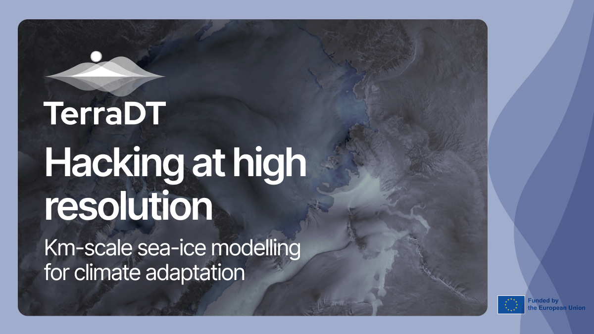
What does it take to provide impactful high-resolution climate models? This article provides a glimpse into the work ahead in the TerraDT project. The animation seen below was created during the World Climate Research Programme Global KM-scale Hackathon.
The objective of this capacity building exercise was to challenge research teams in producing one year of very high-resolution coupled or atmosphere-only simulations. The hackathon then served as an opportunity for teams from around the world to share data and best practices.
As part of the TerraDT team, Nikolay Koldunov from the Alfred Wegener Institute participated in the hackathon and took on the task of examining representation of the sea-ice in a high resolution simulations, with the specific objective of highlighting interactions between slow moving sea-ice and fast moving atmosphere. He used a simulation of the IFS-FESOM model, produced by Thomas Rackow (ECMWF), which is part of the Destination Earth ClimateDT and which comprises two parts: IFS, the atmospheric component and FESOM, the ocean component.
The simulation was run at 2.5 km resolution in the atmosphere, which is extremely high compared to standard coupled simulations. In the animation, the interaction between the atmospheric component and the sea-ice component allows us to evidently see how the wind is driving the movement of the sea ice. Even further, thanks to the high resolution in the ocean component, it is possible to identify structures in the sea ice such as “leads” or “openings” (the darker blue areas) which are also reflected in the wind patterns. What is particularly interesting to note is that, thanks to the high resolution, there is no need to plot the land features such as coastlines or topography - differences in wind interaction with underlying surface (for example between land and ocean, or plain and mountains) reflected in the wind field itself.
How is this work tied to TerraDT?
One of the objectives of TerraDT is to improve the representation of sea ice in DestinE. Currently, sea ice in DestinE has good detalisation and dynamics, but the spatial distribution is not ideal. The sea-ice model will be improved by TerraDT’s work. The exercise done during the hackathon is a sample of the work that will be carried out in TerraDT for the sea-ice Digital Twin Component and impact model.
What’s the impact?
Representation of sea ice in high-resolution models, like those used during the hackathon, are key to improving climate projections and understanding polar processes. TerraDT builds on this by developing a sea-ice impact model that uses observational data for initialization, validation, and bias correction. This will enhance projections of sea-ice changes and their ecological and sea-level impacts, providing actionable insights for climate adaptation and the planning of resilient Arctic shipping routes.
If you want to stay up to date with the project's progress, make sure to subscribe to our newsletter here.